Final Broadway Multimodal Resiliency Study.
Thank you for all of your input and insights as we developed the Broadway Multimodal Resiliency Study. You can access the final study and appendices using the links below:

Project Overview
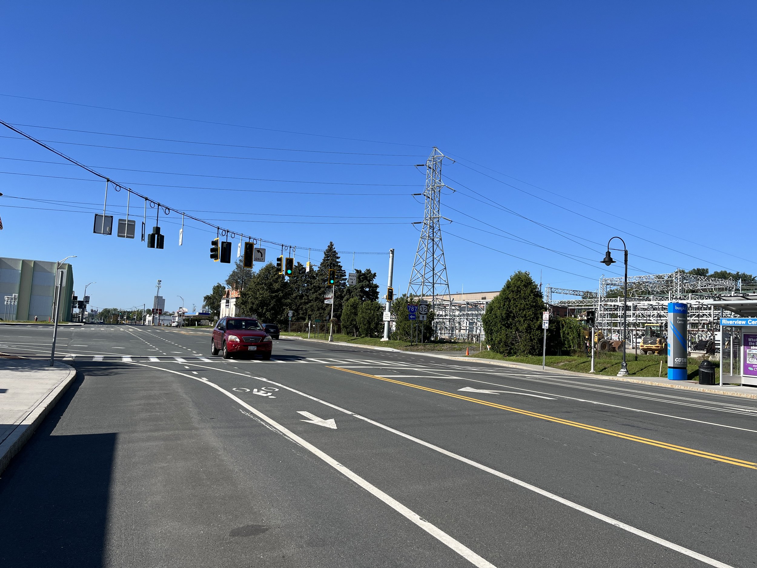
Broadway is a critical local transportation corridor connecting several destinations, downtowns, and neighborhoods between Albany and Watervliet. This multi-modal corridor supports several modes of transportation, including the Capital District Transportation Authority’s (CDTA) Bus Rapid Transit (BRT) Blue Line, sidewalks, and intermittent bicycle infrastructure. Broadway is also prone to flooding, as it parallels the Hudson River and is located in the lower reaches of several highly urbanized watersheds. During intense rain events or large storms, which are expected to increase with climate change, Broadway floods at multiple locations, impeding local access and mobility. The purpose of the Resilient Broadway project is to identify and evaluate design concepts that ensure Broadway is resilient to climate change by enhancing and improving the connectivity of transit, bicycle, and pedestrian infrastructure, increasing the urban forest and tree cover to cool the corridor, and integrating green infrastructure to better manage stormwater runoff. To learn more about the goals of this project, please see the About Page.
Study Area

The study area includes the Broadway (NY Route 32) corridor beginning at Clinton Avenue in Albany to 25th Street in Watervliet. In Watervliet, Route 32 follows 13th Street then 2nd Avenue. Broadway traverses three (3) municipalities including the City of Albany, Village of Menands, and City of Watervliet in Albany County’s Hudson River corridor. The recently completed Bus Plus Blue Line transit service uses Broadway for much of its route between Albany and Waterford and the corridor runs parallel to I-787 and a portion of the Empire State, a trail from New York City through the Hudson River Valley, west to Buffalo along the Erie Canal, and north to the Champlain Valley and Adirondacks.
Interactive Map
Use the Resilient Broadway interactive map to share:
Destinations: Places you visit along Broadway or places you use Broadway to access,
Issues: Think broadly. You can use this category to identify areas that flood frequently, feel hot in the summer, and/or are challenging to access or cross as a pedestrian or cyclist.
Opportunities: We want to hear your ideas for improving the Broadway corridor!
To add a point to the map, either double click on the location where you'd like to add the point or click the "Add Point" button on the right side of the map to search for a location. To share or interact with the map in full screen mode, please visit: https://map.proxi.co/r/ResilientBroadway